Arlington Walks
Come, walk Arlington Massachusetts, to explore the town's history and its
industrial, cultural, and natural heritage.
Arlington is almost as old as a town can be around here - established
in 1635. The town was called Menotomy and also West Cambridge back in
the day, but that's not all that's changed and been hidden through
modernization and growth. When you look carefully, the past is poking
into the present, tantalizing and surprising you here and there. I
encourage you to slow down to experience it, by walking.
Arlington has a rich industrial heritage. Up to seven mills operated
along the Mill Brook, and later, an ice cutting industry grew up on
Spy Pond, followed by vast greenhouses called market gardens in East
Arlington. There was even a railway and a streetcar running the length
of the town.
Arlington witnessed Paul Revere's ride and the first battle of the
American Revolution. In the 19th century, housing grew quickly as real
estate developers subdivided and
converted the hilly farmland into homes. Architectural gems are dotted
around.
Nature also pokes through, especially on the hills of this
bumpy landscape. On your walks, you'll get a workout, and get some
great views over the town and to the Boston skyline.
I'd been looking for online sites to help me explore the town on foot,
but couldn't find what I wanted in a single place. There are many
superb sites about Arlington's history, open spaces, and conservation
areas, with some walks, but nothing like the excellent "ACROSS
Lexington Project" from our neighboring town.
So I walked Arlington, and I continue to walk Arlington, while
collecting historical and modern information to create a series of
walks and this website.
Enjoy the
walks, and let me know how you get on!
Birth of a Town (The Town Center)
(3.2 miles)
Arlington Heights South (including Robbins Park)
(4.8 miles)
Arlington Heights North (including Mount Gilboa and Turkey Hill)
(4.6 miles)
Arlington's Industrial Heritage (Mill Brook)
(4.3 miles)
The British Retreat Through Arlington (along Mass Ave)
(3.3 miles)
Menotomy Rocks (and Jason Heights)
(2.2 miles)
Market Gardens and Ice Houses (East Arlington)
(5.1 miles)
Pastoral History (Morningside)
(3.7 miles)
Of Fish, Subways, and Green Space (Alewife Brook)
(3.2 miles)
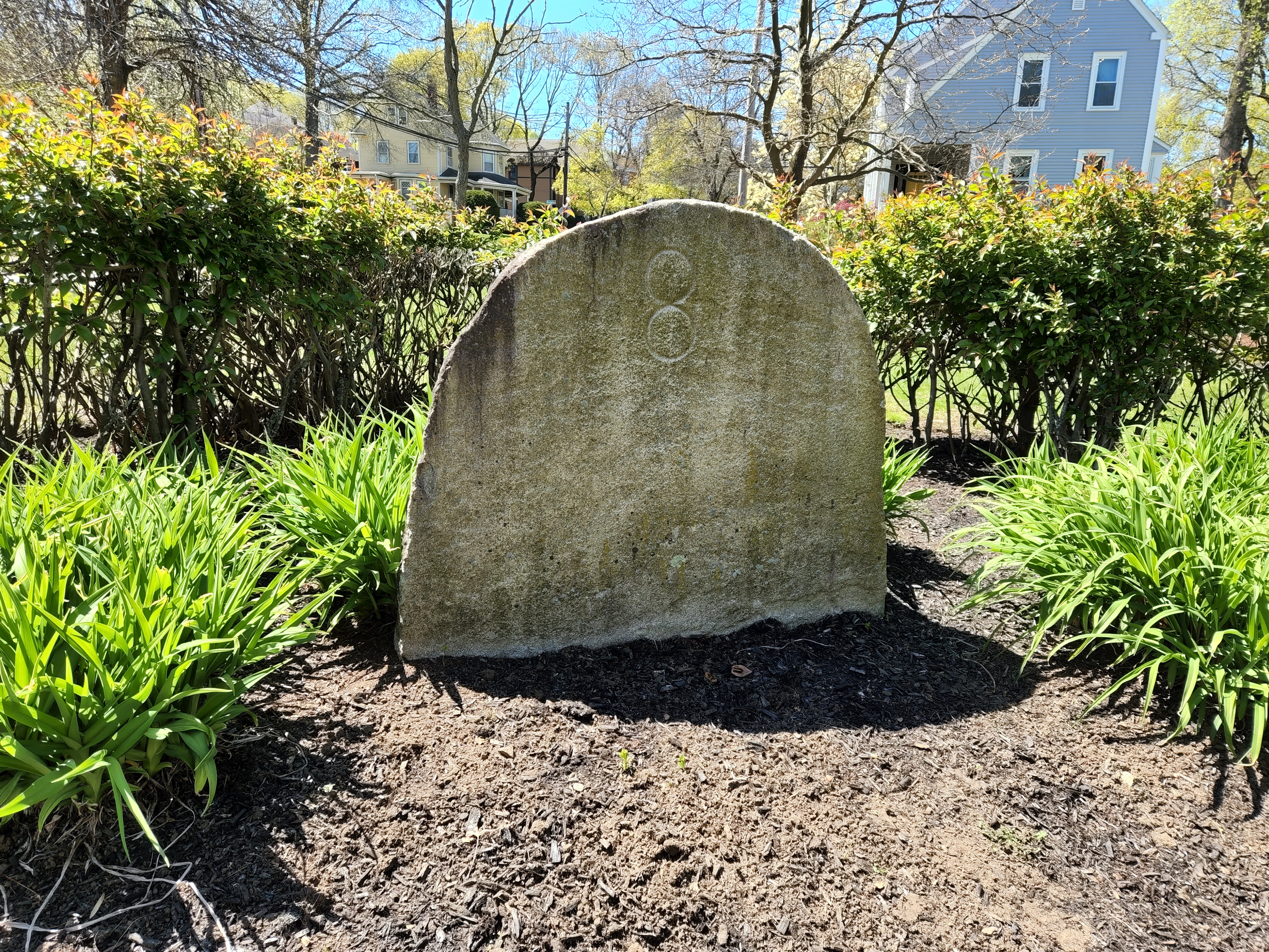
 Carved in 1790, the milestone marks the distance to Boston on the old Boston to
Concord road. Featured in the British Retreat Walk (Walk E), point of interest 53.
Local organizations and other sites
There are so many great sites and resources for learning about
Arlington's history, its hills, and open spaces. Here's a few that
I've enjoyed and found really useful in developing my walks.
Comments, questions, offers of help to Philip Edmonds, Arlington,
phil@arlington-walks.org
Copyright © 2021- Philip Edmonds.
 Carved in 1790, the milestone marks the distance to Boston on the old Boston to
Concord road. Featured in the British Retreat Walk (Walk E), point of interest 53.

 Carved in 1790, the milestone marks the distance to Boston on the old Boston to
Concord road. Featured in the British Retreat Walk (Walk E), point of interest 53.